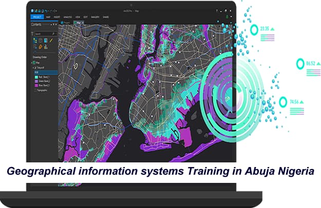
Geographical information systems Training in Abuja Nigeria
No 1 Computer training school in Nigeria.
Our hands-on Oracle training courses starts from zero level to Expert Level, it will give you the skills to build, configure, and secure Oracle databases, manage memory and storage, and maintain databases to ensure availability
In this practical hands-on Geographical information systems Training in Abuja Nigeria, students will learn the basics of GIS technology and its application in different industries; Understand common workflows in GIS, Common GIS components; Learn about the different GIS applications. Customization of Maps using, Google Maps and Google Earth Pro and ArcGIS Online. How to create, edit, import and export map components.
Our GIS and ArcGIS training is practical hands-on training with access to live web application and desktop application of ArcGIS software
Join our Practical hands-on Geographical information systems Training in Abuja Nigeria. Explore the tools, concepts, and terminology of spatial analysis and modeling. GIS stands for Geographic Information Systems
What will students achieve at the end of this training
This Geographical information systems Training in Abuja Nigeria, will learn how to use ArcGIS.
This Geographical information systems Training in Abuja Nigeria will get you up and running with GIS in a very short time. By the end of the course, you will feel confident and completely understand GIS technology and how to use ArcGIS software to make maps
— At the end of this GIS and ArcGIS training students will learn the basics of GIS technology and its application in different industries; Understand common workflows in GIS, Common GIS components; Learn about the different GIS applications. Customization of Maps using MapInfo, Google Maps and Google Earth Pro. How to create, edit, import and export map components
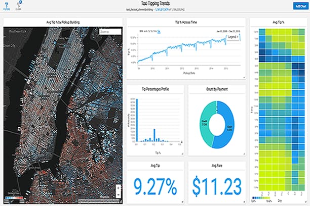
—- Student will understand how to start a new project on ArcGIS, create feature classes and feature services. Collate field data, Customize maps and run analysis. Publish maps services, design operational dashboard for Management view, publish map on the ESRI story map public platform. Work with Survey123, Quickcapture and ESRI living atlas
Knowledge of GIS –Geographic Information Systems is an increasingly sought after skill in industries from IT, agriculture to public health. This GIS training in Abuja Nigeria will teach the skills you need to successfully use GIS software in a professional setting.
You will learn how to analyze your spatial data, use cartography techniques to communicate your results in maps, and collaborate with peers in GIS and GIS-dependent fields. In the final Capstone Project, you will create a professional-quality GIS portfolio piece using a combination of data identification and collection, analytical map development, and spatial analysis techniques.
You will also learn how to use ArcGIS to create interactive maps, visualize spatial data, create your own customized maps
Learn how to use the tools provided by ArcGIS Pro, starting from scratch in this GIS and ArcGIS training
This Geographical information systems Training in Abuja Nigeria includes the basics of ArcGIS Pro; data edition, methods to a selection of spatial data based on attributes and location and creation of bookmarks. Then, we include digitization of shapefiles, addition and digitizing layers, editing attribute and column attributes.
You will learn to use symbology within features and labeling of points, lines, and polygons. Includes buffer analysis, import of Excel data and georeferencing of images.
To share data you will learn how to share data online and generate final maps.
Includes a step by step exercises in the AulaGEO environment.
What you’ll learn in this GIS and ArcGIS training in Abuja Nigeria
- Fully understand how GIS works.
- Learn how to understand, clean, and map GIS data.
- Learn how to work with both vector and raster data.
- Learn about the GPS and the Remote Sensing technologies.
- Understand map projections and reference systems.
- Create and Share Interactive Maps on ArcGIS
- Visualize geospatial data in 2D and 3D
- Learn to download and install ArcGIS
- Learn to edit and make multiple types of maps on ArcGIS
- Make your own customized maps
- Build a web map from scratch and publish it online.
- Geocode addresses to longitude and latitude coordinates.
- Complete an entire GIS project on acquiring, processing, analyzing, and visualizing GIS data.
- Learn how to perform joins, clipping, normalization, and many more core GIS operations.
Who uses GIS
Enroll in this Geographical information systems Training in Abuja Nigeria, you will be able to work in notable companies.
GIS software is being used widely in almost all fields. GIS software are used by individual, people, communities, research institutions, environmental scientists, health organisations, land use planners, businesses, and government agencies at all levels.
Urban Planning, Management & Policy
Oil and Gas companies
Oil and gas data is strongly connected to geography. For example, oil exploration, pipeline construction and the environment use GIS. All of these features are spatial in nature.
Uses range from information storage; spatial pattern identification; visual presentation of spatial relationships; remote sensing – all sometimes made available through internet web interfaces, involving large numbers of users, data collectors, specialists and/or community participants.
Many government agencies use GIS software to help in planning and organizing their geographic data. Many police departments, fire departments and other emergency services have begun to use GIS to help in their daily operations.
GIS software can help officials track crime, find the shortest route to emergencies and more.
честные казино с быстрыми выплатами
бездепозитные бонусы казино
играть в лучшем казино на деньги
база казино с бездепозитным бонусом
онлайн казино России
casino oyunu
Take the bold step today and register for practical hands-on Geographical information systems Training in Abuja Nigeria.
Click on the link below to register and get started!
